T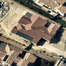 oday’s landscape professionals rely on frequently updated HD Aerial Imagery to produce better quotes, stronger leads and precise measurements and to lower their number of costly site visits. Nearmap captures 430 US cities, often multiple times per year. Leaf-off surveys aid landscape design, and Nearmap’s stunning, affordable imagery lets you compete for bigger and better jobs. Far more reliable than satellite, current aerial maps stream instantly from the cloud. View and measure through MapBrowser or integrate further with Autodesk/AutoCAD, and other popular design platforms. Work smart, build business and grow your bottom line.
Nearmap: HD Aerial Imagery
|
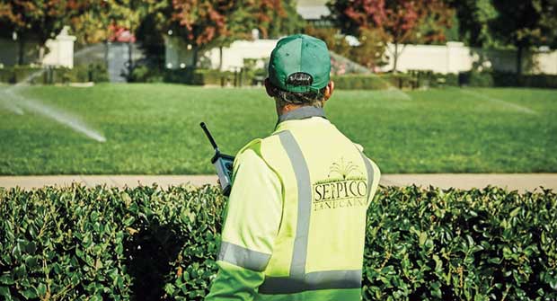
Photo: Progressive Commercial Professional landscapers like you rely on their pickup trucks, trailers and landscaping equipment to get the job done. As the No. 1 commercial…Keep Reading
Today’s landscape professionals rely on frequently updated HD Aerial Imagery to produce better quotes, stronger leads and precise measurements and to lower their number of…Keep Reading